
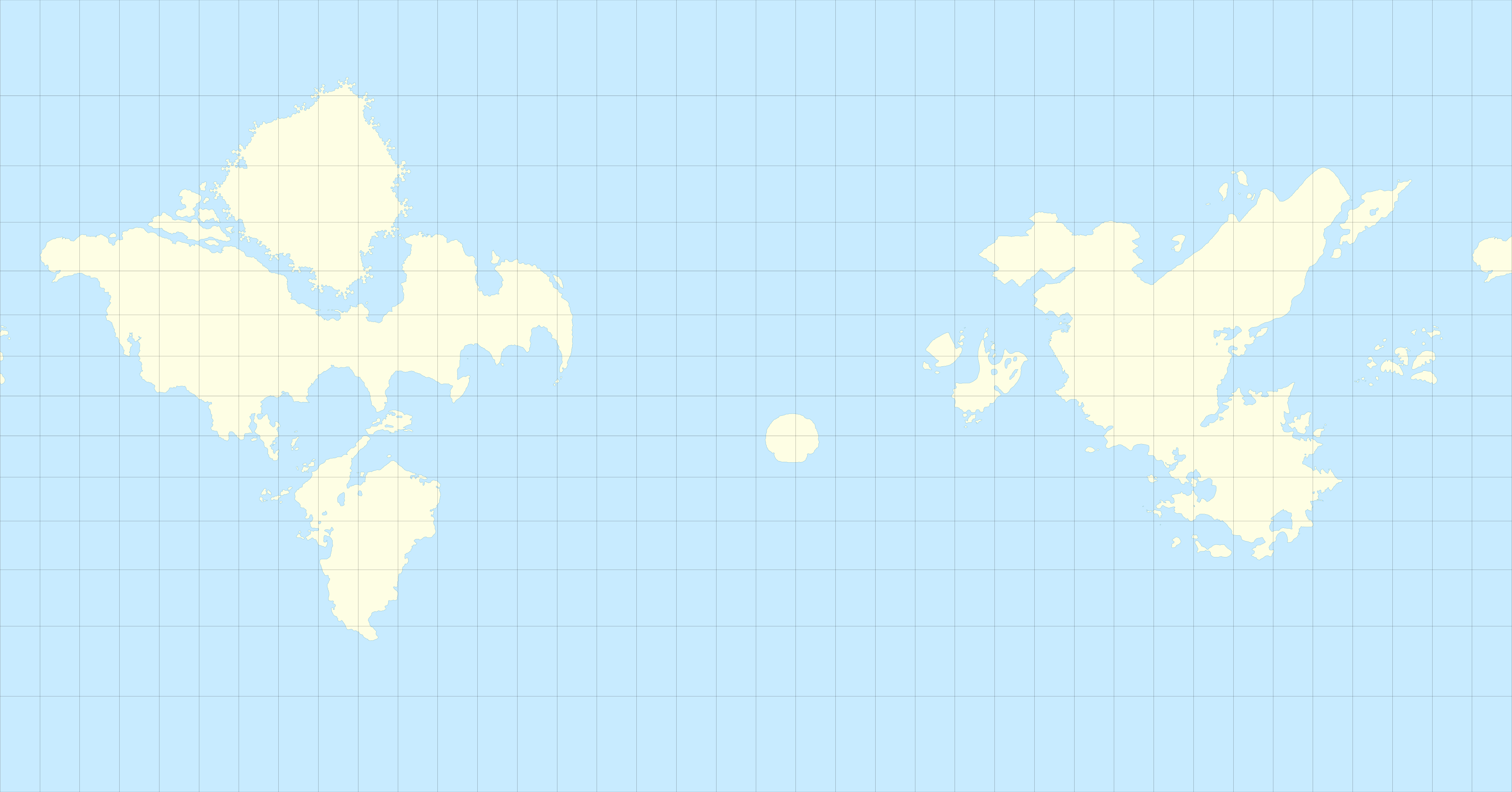
An accurate Mercator projection of SMO's planet
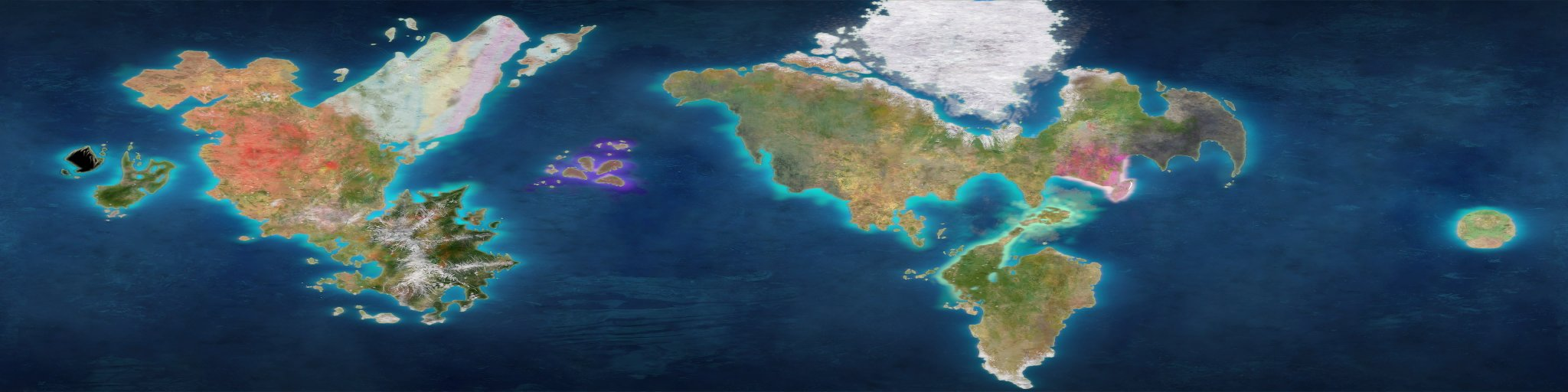
This map spans 380 degrees (yes, 380, you can see the west coast of Metro Kingdom and some of the Lost Archipelago twice) across the planet seen in Super Mario Odyssey from 70°N to 70°S.
How did you make this ?
So I first borrowed the grid of the main meridians and circles of latitude from this map, then used this model scrapped from the game and available on the Models Resource to place the circles of latitude properly. I also had to strech the texture vertically to get it working.

After that, I painstakingly drew the shapes of the continents with Inkscape (12k+ nodes placed by hand, send help).
For the north coast of Snow Kingdom, which isn't visible on the source image, I used another texture from the Odyssey's miniature globe, although that image wasn't really detailed, so the north coast of Snow Kingdom can be left at interpretation. What I did was close to the original.
What is the scale of this map ?
Te scale of this map is 1px:10km, so assuming SMO's earth is the same size as real life Earth (about 40 000 km in circumference), this image is 4000 px wide (a bit more because again, it spans 380 degrees).
Can I use this map as a base for my mapping projects ?
You can download and use the original SVG file here. Credit is not necessary but still appreciated.
Thank you to those who read through the entire post, and have fun with this map !